Weekly Reports from Jordan
Choose Year: or Choose week
Week 2 – Archaeology Report 1
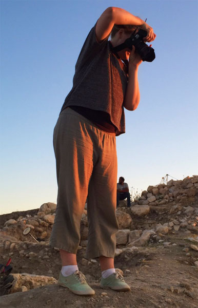
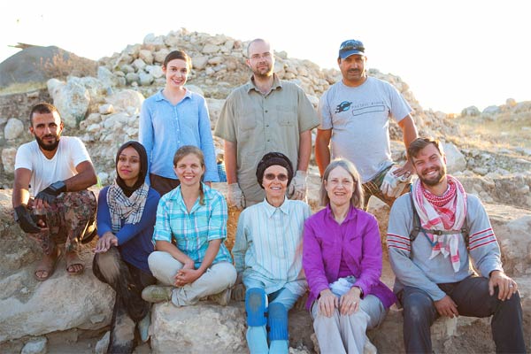
by Kent V. Bramlett, Co-field Director - Photographs by Jillian Logee
 Our archaeological adventures at `Umayri led us to return this season to questions we were only beginning to answer last season (2014), and some that had been left entirely unresolved from previous excavations. Before beginning to stake out excavation squares and put together teams of excavators to work those areas, there is the challenge of articulating objectives and developing strategies for best achieving those objectives. This season we had three major research questions: 1) to understand more fully the southern rampart defense system, its extent, phases, and features; 2) to find the perimeter wall along the crest of the southern slope; and 3) to “ground-truth” our ground-penetrating radar (GPR) anomalies from 2015 to see if the sub-surface cavities indicated are ancient tombs or just natural bedrock features. Additionally, we hoped to establish whether a lower shelf of the southern slope had been occupied in antiquity, perhaps by Middle Bronze Age (2000-1550 BC) peoples, and to learn more about the Iron I (1200-1000 BC) in Field L, where we had previously confirmed an Iron I presence but revealed little from that period.
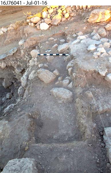
We opened one square in Field H (supervised by Monique Vincent) at the top of the tell. This square, excavated by Craig Tyson (supervisor), Satu Terian, and Regine Hunziker-Rodewald, provided the best opportunity to confirm our hypothesis that a large wall previously identified and partially uncovered in former seasons might be the city’s perimeter wall throughout much of the Iron Age. Excavated layers sealing against the wall told us that it was there at least as early as the Iron IIB (900-700 BC), but we hadn’t reached the bottom of the wall yet and we expected to find one in this location dating to the Late Bronze/early Iron I transition period about 1200 BC. The settlement from this period is well represented at Umayri because a fiery conflagration destroyed it and preserved it under a thick layer of burned mud-bricks, beams, and fallen wall stones.
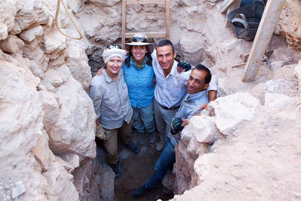 Over in Field L (supervised by Owen Chestnut), also on the acropolis, we chose to open two squares for excavation. One was an area that would allow us to excavate a large probe against what had been confirmed to be a wall founded in the early Iron I period. Here Shaun Eccles (supervisor) and Josephine Verduci are working to reveal the sequence of occupation on this part of the tell and hopefully uncover a good sequence of layers allowing us to fill in our knowledge of the earlier Late Bronze-to-Iron I transition period. Surprisingly, the first couple of weeks has revealed a series of surfaces dating to the early Iron I. This is particularly interesting, as it seems to parallel an occupation horizon represented in Field H by a pillared house dating to about 1100 BC. The other square in Field L was just above the top square of Field J, a trench, or series of squares running down the southern side of the site. This square, excavated by Shayla Shupe (supervisor), Malak Alkadri-Arafa, and Mary Boyd, we think could reveal the perimeter wall somewhere above the rampart beginning to appear in the Field J excavations. This potential discovery would clarify for us the sequence of fortifications at Umayri and help us understand the size of occupation at different time periods.
 |
 |
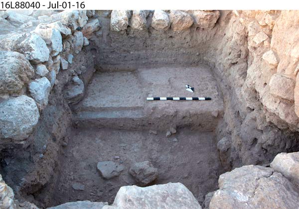
 Field J (also supervised by Monique Vincent), the series of squares opened in 2014 running from near the top of the tell down the southern slope, continues to engage us. This year we reopened four of the squares in hopes that we could trace more of the Late Bronze/early Iron I rampart initially reached in the previous season. Also, we wonder if beneath this rampart there is an earlier one dating to the Middle Bronze Age as there was on the western side of the site. We hope to reach layers of occupation on a terrace or shelf near the bottom of the slope.
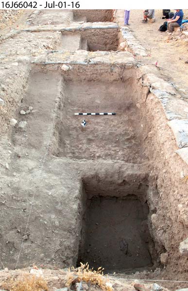 The square directly on the shelf, excavated by Jimmy Martini (supervisor) and Audrey Shaffer, continues to sink a probe deep into accumulated layers of debris that has washed down the side of the tell. All are curious what they will find below. Will it be Middle Bronze Age occupation, or something else?
Jaime Bennett (supervisor), Colin Pummel, and Carolyn Waldron are working in the next square to the north (up the slope). Here they hope to catch the bottom of the rampart, or a revetment wall that would have supported the base of the rampart. Or, perhaps they are beyond the terminus of the rampart and will discover other features. Only excavation will tell.
Betty Adams (supervisor), Glo Besana, and Niveen Rashad excavate the next square up. They are sinking a probe deep into the Late Bronze/early Iron I rampart discovered last season in this square. This is the best location to get a good cut through all the layers of the rampart system that can inform us of its construction phases and dates.
Kristy Swartz (supervisor) and Melissa Hebein worked in the uppermost square of Field J. This square is where we expect we might discover the perimeter wall. So far, they have uncovered evidence of significant disruption (probably by erosion) to the rampart and subsequent debris accumulation in the washed-out parts. A number of large boulders originating in a late Iron II wall (seventh century BC) had to be removed to provide access to the area we need to investigate.
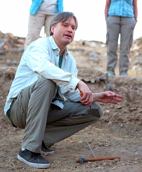
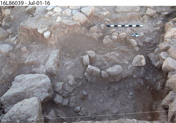
 Field P, supervised by Friedbert Ninow, dean of the Divinity School at La Sierra University, has the high-stakes opportunity of “ground-truthing” the GPR data to discover what the anomalies indicated in the data actually represent. On the one hand, Field P could produce a rich burial, surely to be the most exciting discovery of the season; on the other hand, excavation could reveal just natural bedrock anomalies and thus reward weeks of hard work with the knowledge that there are no tombs in those locations! Exciting stuff! Maybe. Two squares have been opened. One, excavated by Kristine Asquith (supervisor) and Larry Murrin are continuing to probe in the location where the GPR data clearly indicated a difference in density (or void) in the bedrock below. Hopes are that this will be an undisturbed tomb. The other square, excavated by Kristina Reed (supervisor) and Bernina Ninow is adjacent to an area worked last season that revealed a rock ledge with some tooling, but no tomb entrance. The GPR data here also indicated a difference in density below, suggestive of a tomb. Now we have moved one square east to follow the bedrock ledge to see if an entrance is located there.
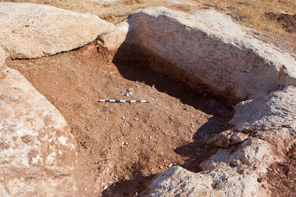
 Out at Site 84, the hinterland farmstead site where David and Amanda Hopkins have been surveying agricultural features the last couple of seasons, work has focused on clearing the best examples of each type of feature for full photogrammetric documentation. The first on the list was what appeared to be a reservoir. We hoped to have that cleared the first week, but two weeks in we realized the depth of sediment was too great and so David and Amanda focused excavation on the northeast quadrant and were able to reach the bottom. This provides enough information for us to calculate the original capacity of the reservoir. Next they will work on clearing examples of basins, pressing surfaces for ancient wine production, and an outcrop showing several stages of quarrying. Most importantly, we hope to document the best example in the area of a wine-press, now mostly covered with boulders and piles of dirt from modern field-clearing activity. We will need a tractor to move aside the obscuring piles of debris but have so far not had success in contacting the individuals necessary to procure this assistance. Hopefully this can come together in the next week or two.
|
|
 |
 |
Each field has an ambitious set of objectives. As always, if successful, these will be reached near the end of the season. This year we have particularly dedicated dig participants and I am confident we will achieve new insights into the peoples and communities who once lived their lives on the slopes of this hill, coaxing an existence from the soils and pastures of the surrounding valleys. In this way, our team of archaeologists connects our world with theirs across the span of millennia and brings to light once again the world in which those people lived.